-
 en
en


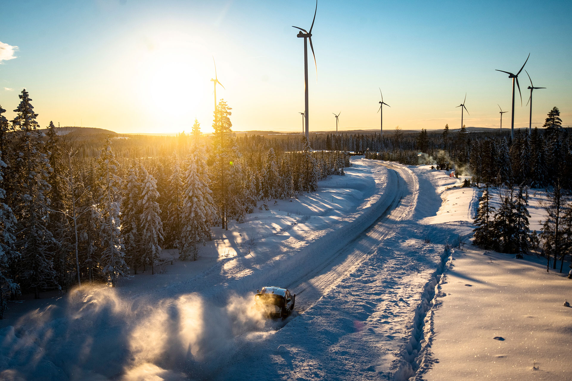
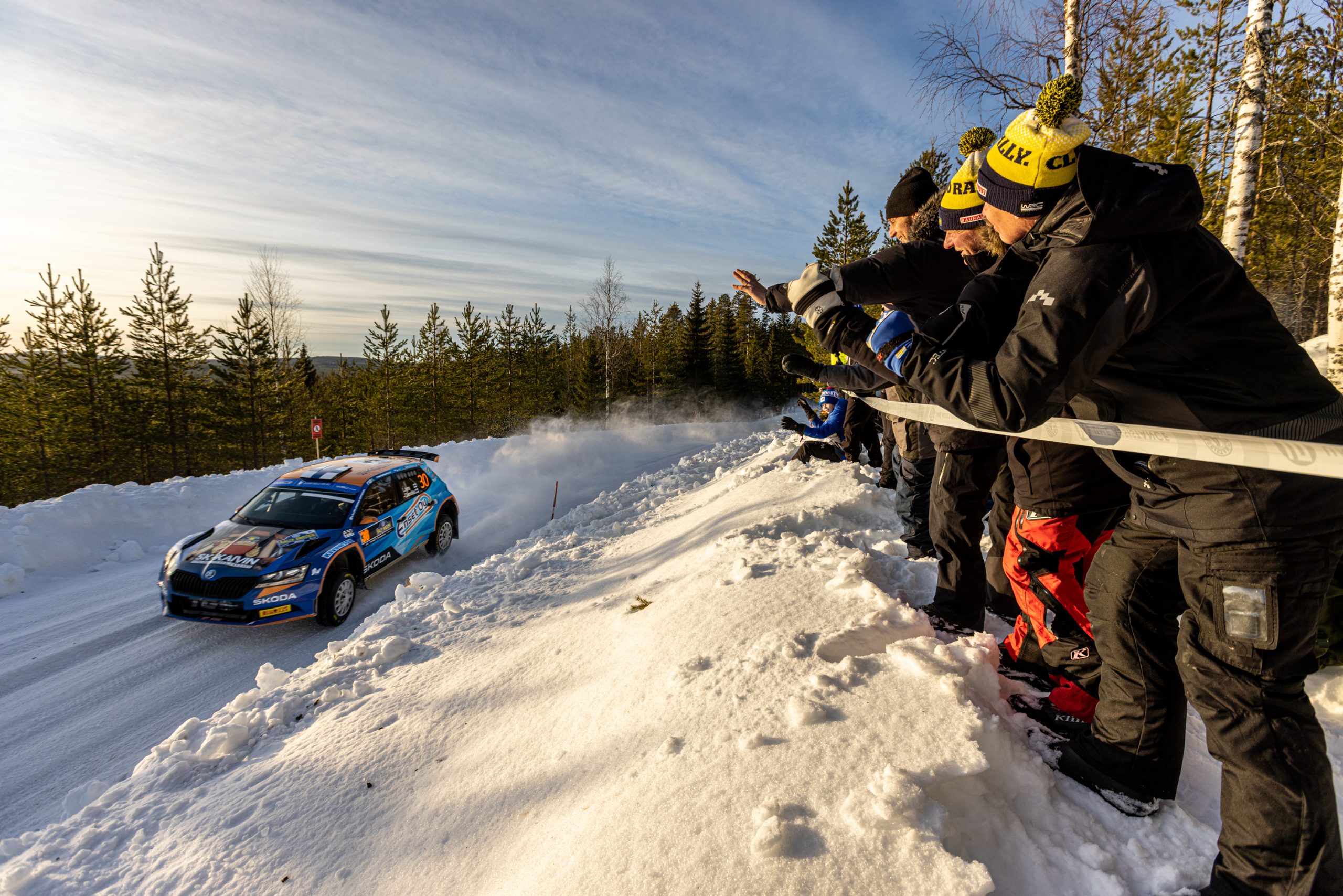


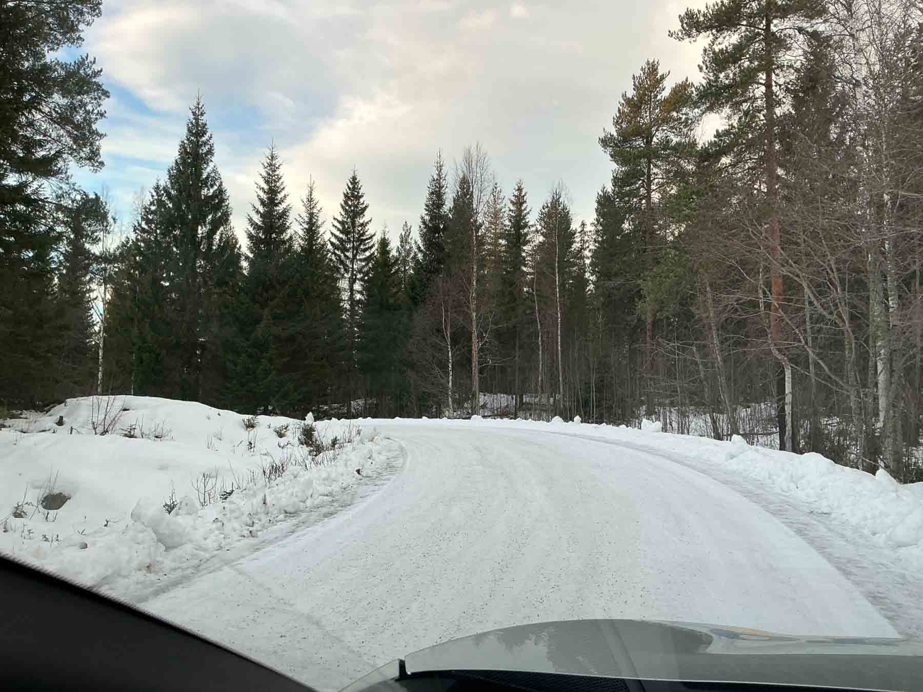
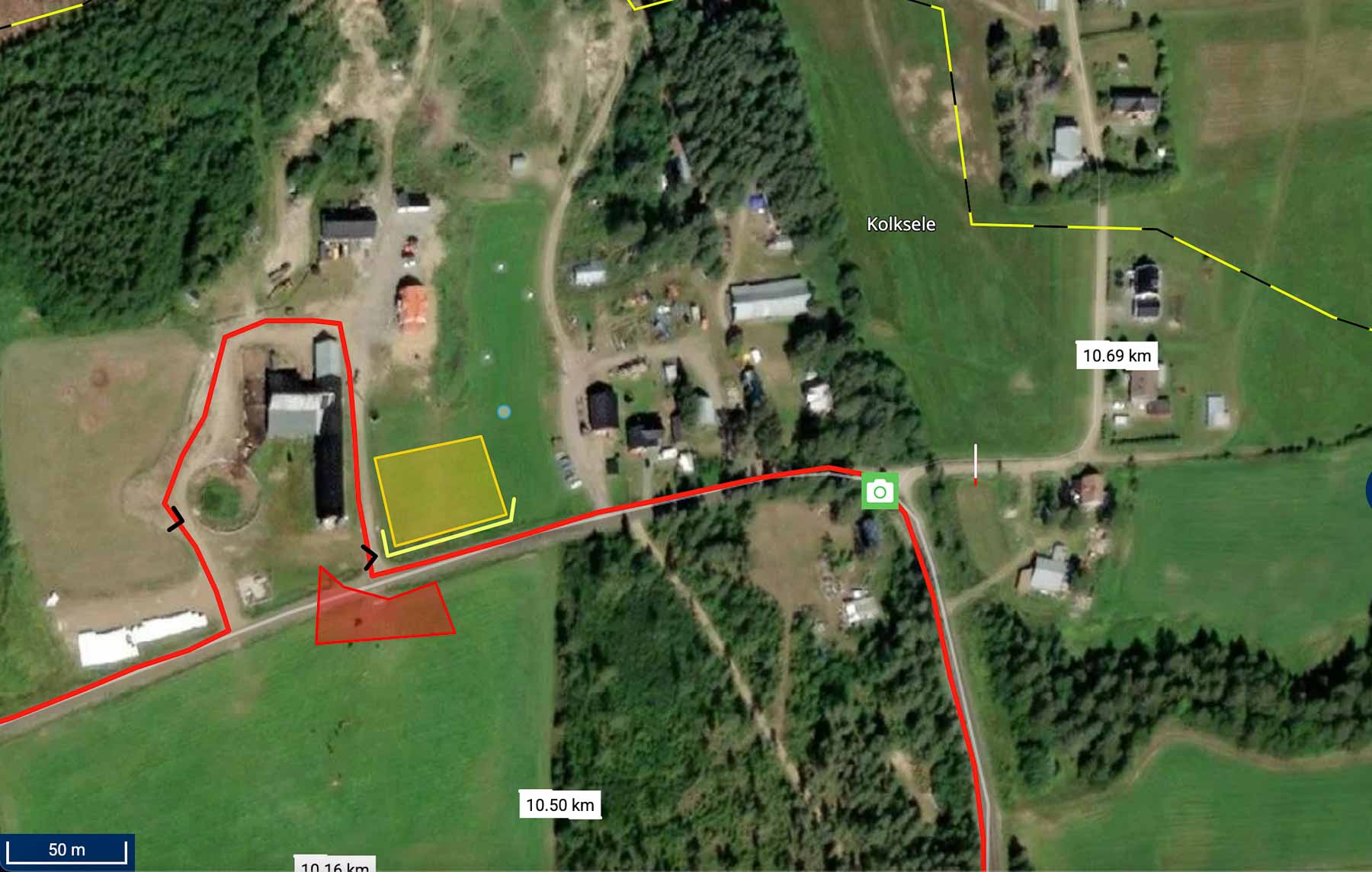
SS 11/14 Kolksele
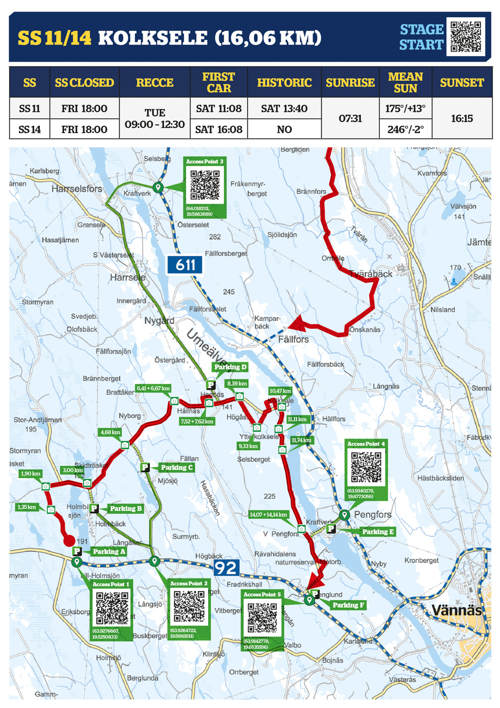
| ACCESS POINT 1 | ACCESS POINT 2 | ACCESS POINT 3 | ACCESS POINT 4 | ACCESS POINT 5 |
|---|---|---|---|---|
| (63.9276667, 19.5250833) | (63.9264722, 19.5693611) | (64.0181111, 19.5863889) | (63.9340278, 19.6773056) | (63.9142778, 19.6535556) |
| PARKING A | PARKING B | PARKING C | PARKING D | PARKING E | PARKING F |
|---|---|---|---|---|---|
| (63.9283056, 19.5258611) | (63.9407222, 19.5373889) | (63.9501111, 19.5666667) | (63.9648611, 19.6111111) | (63.9311944, 19.6684167) | (63.9150833, 19.6536944) |
Media Point 1.35 km
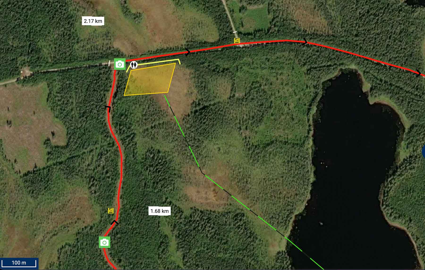
Media Point 1.90 km

Media Point 3.00 km

Media Point 4.68 km
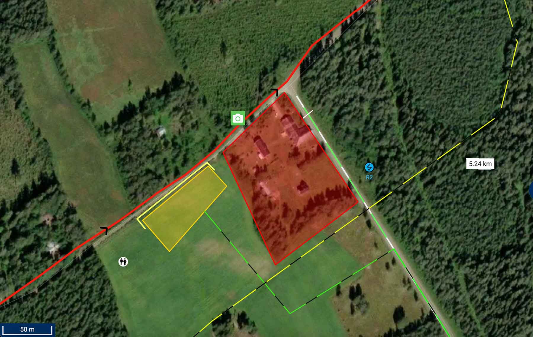
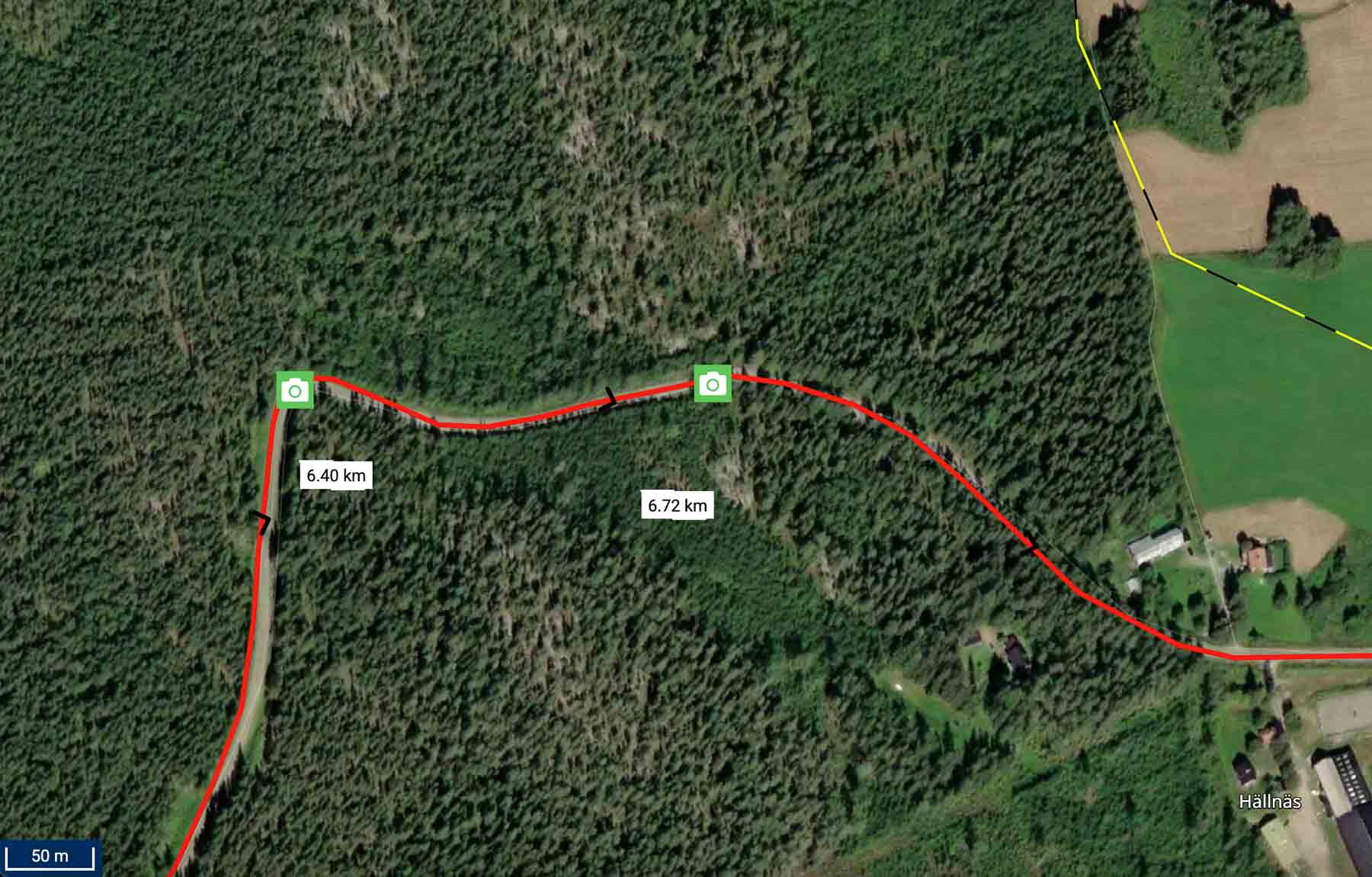
Media Point 6.41 km, 6,67 km

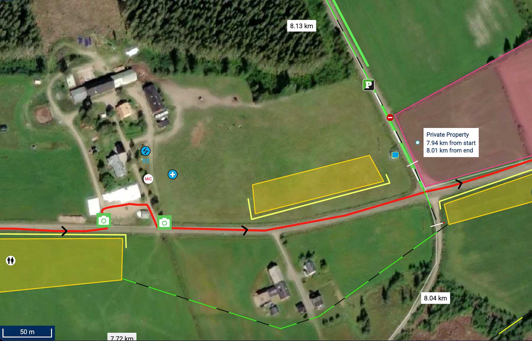
Media Point 7.52 km, 7,62 km
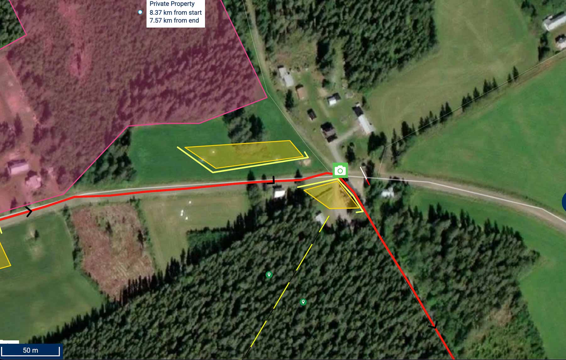
Media Point 8.39 km
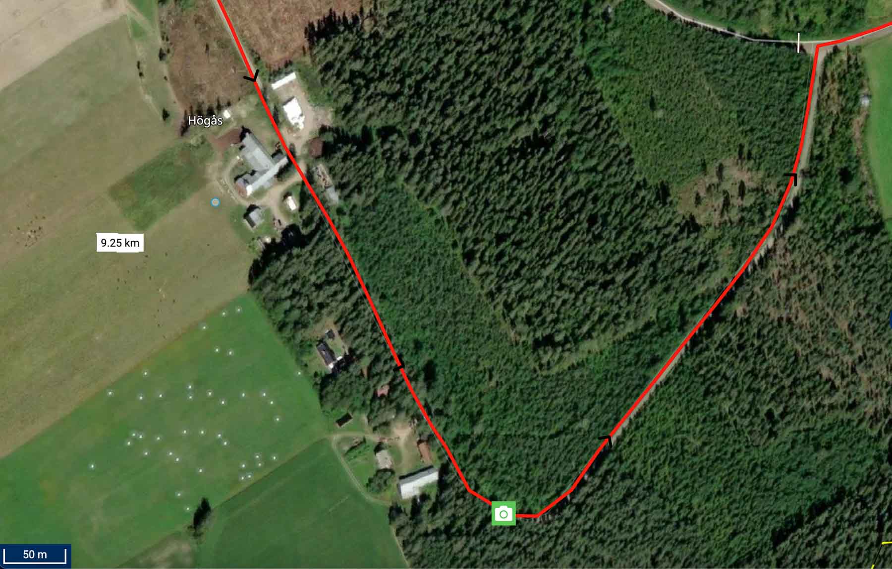
Media Point 9.33 km

Media Point 10.47 km
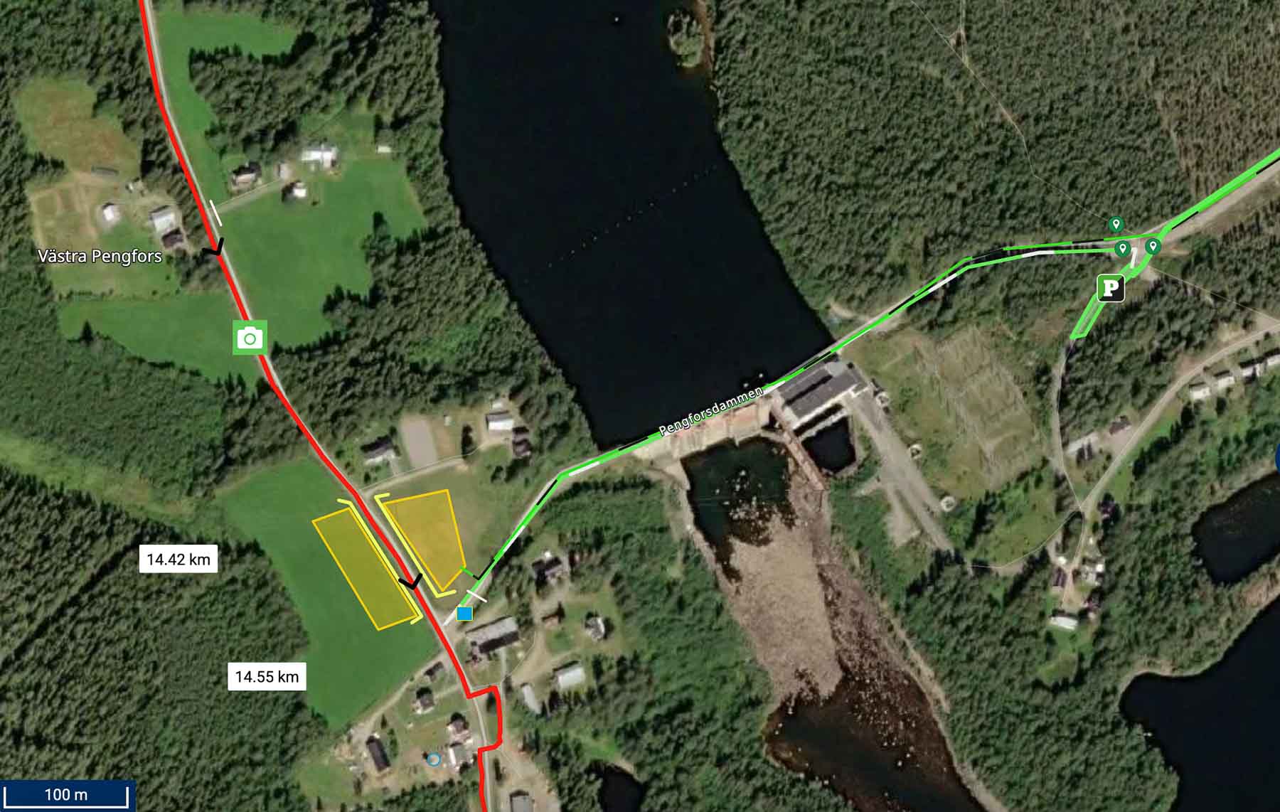
Media Point 14.07 km
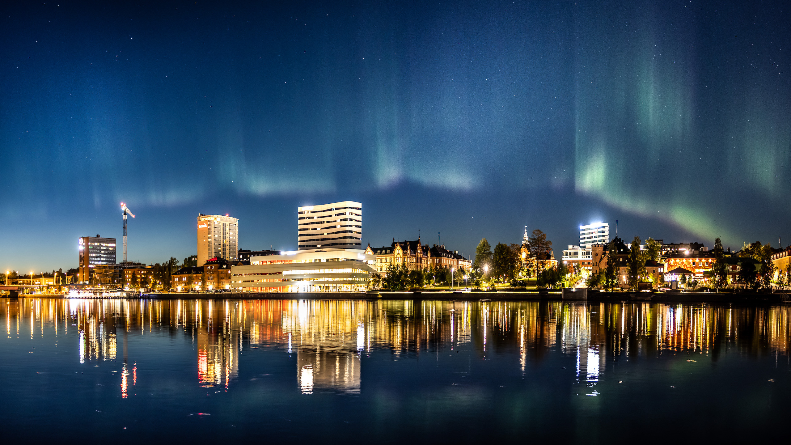
Hosting city

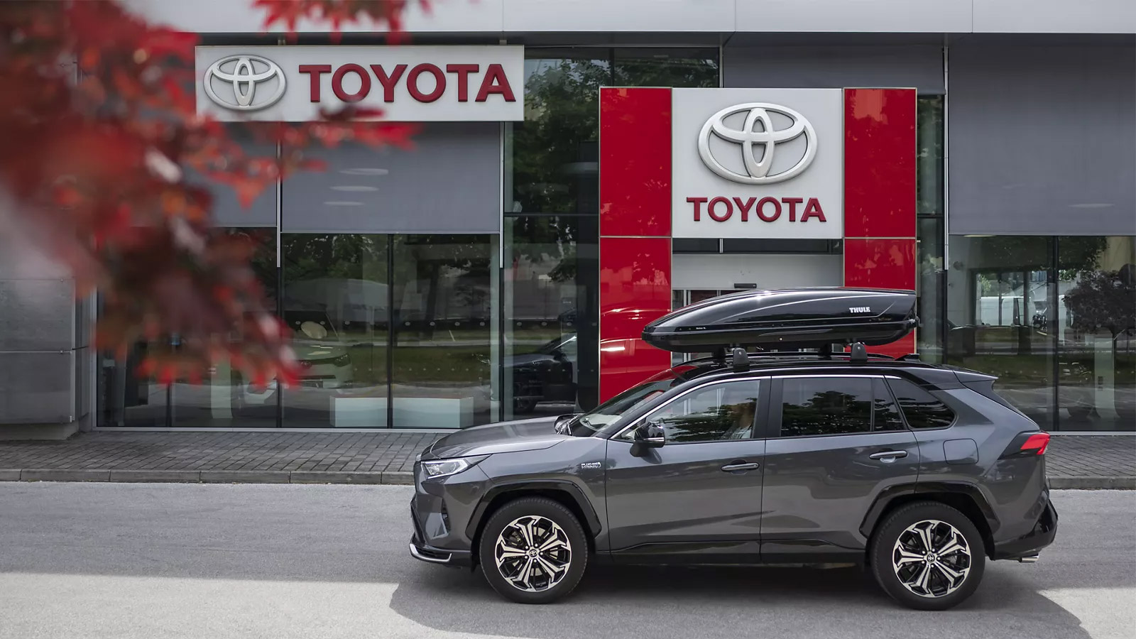
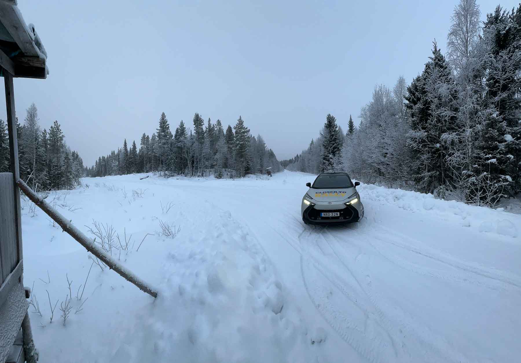
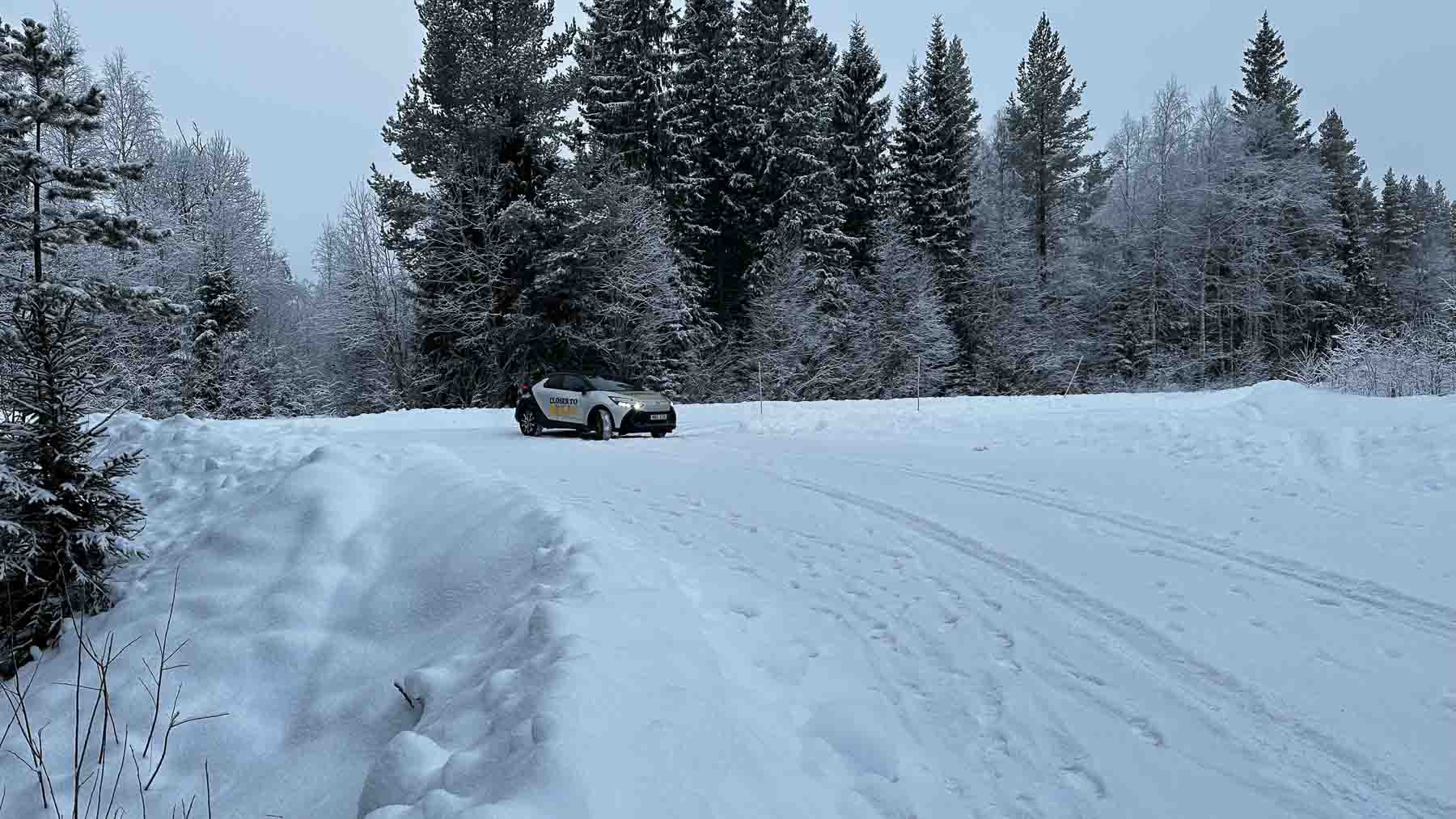
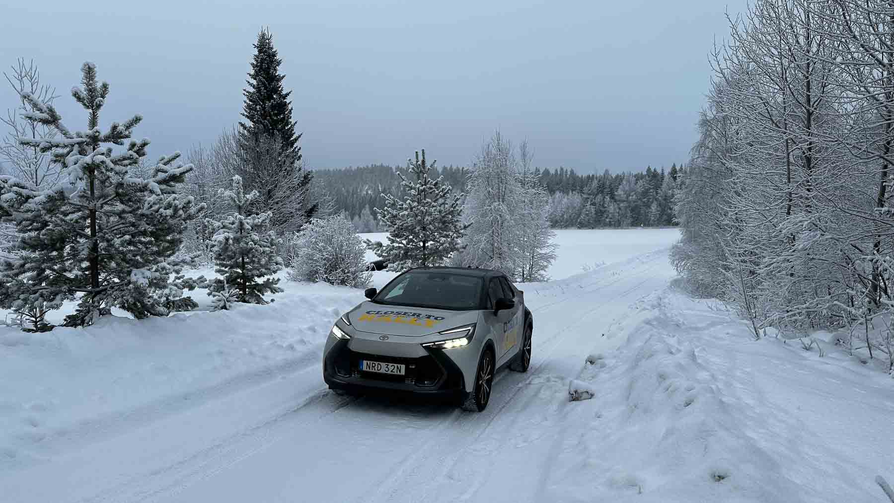
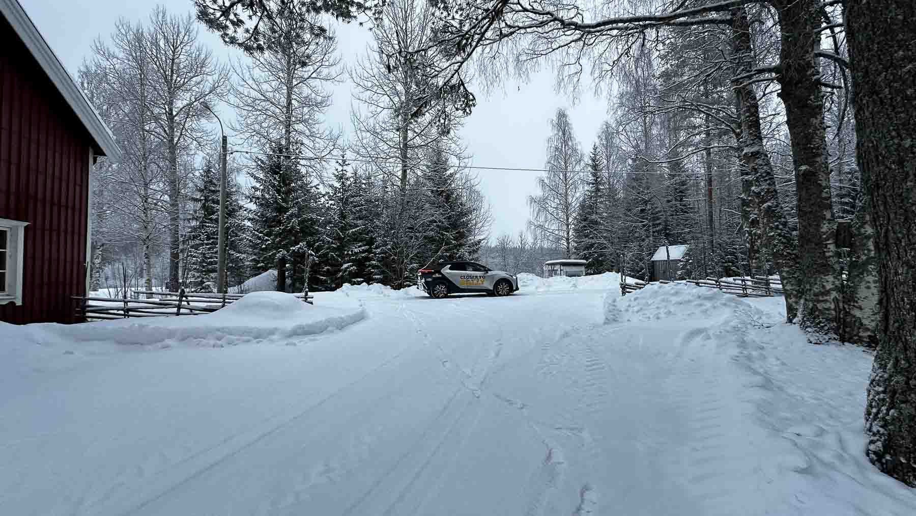
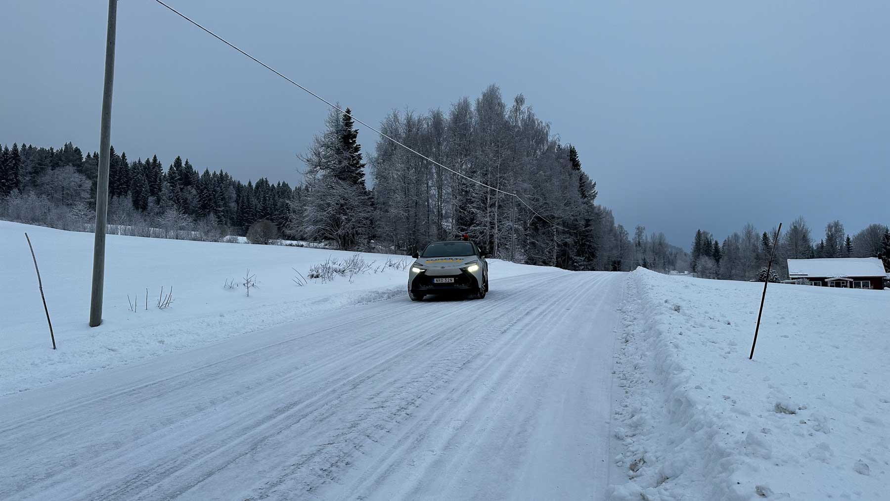
Official car

Major partners

Official partners


WRC partners