-
 en
en


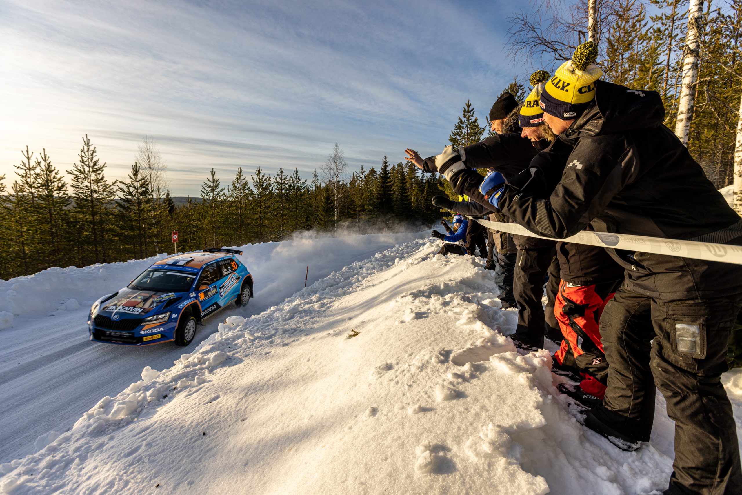


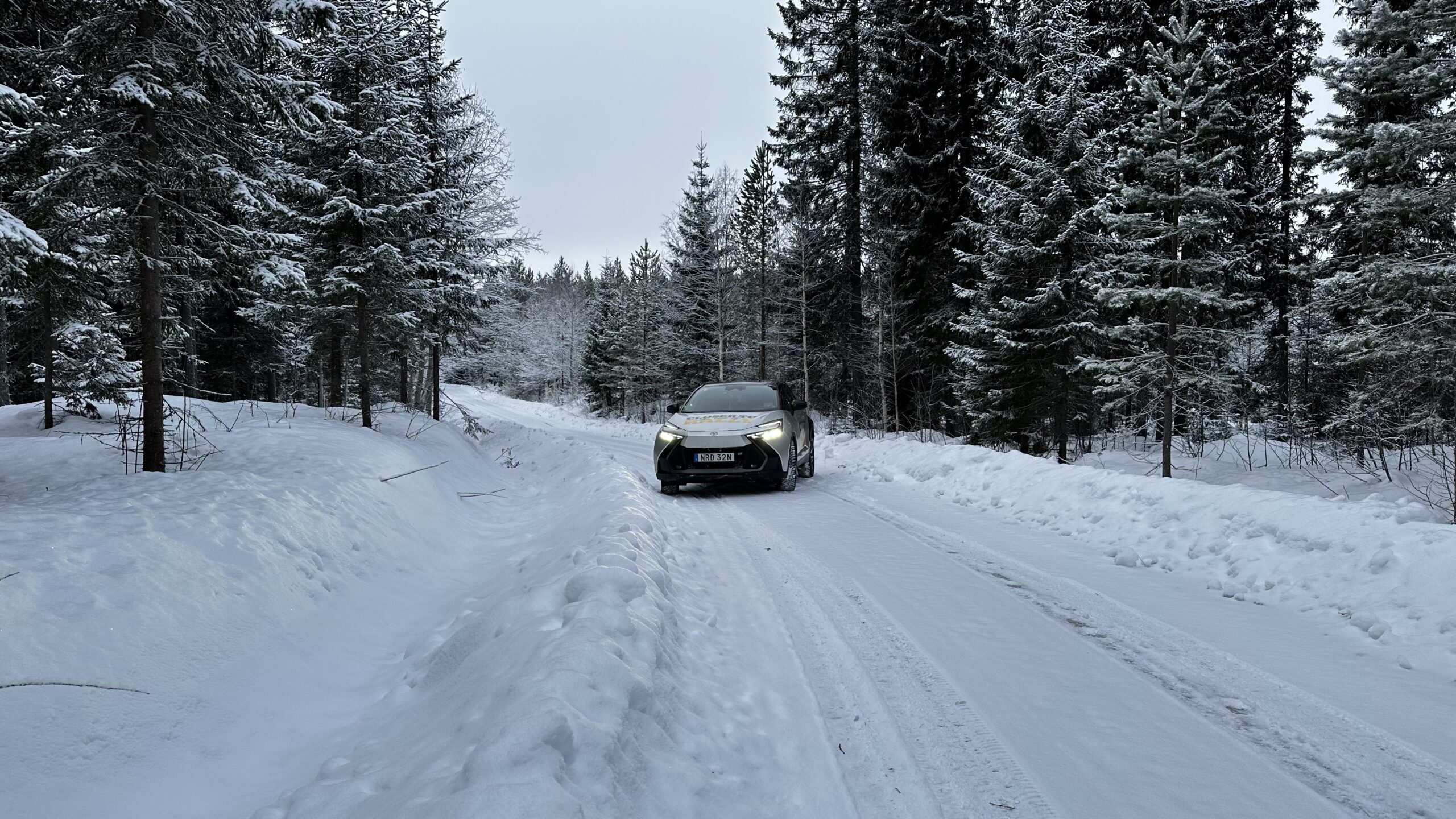
SS 2/5 Bygdsiljum
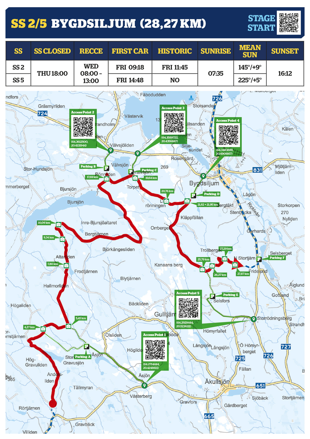
| ACCESS POINT 1 | ACCESS POINT 2 | ACCESS POINT 3 | ACCESS POINT 4 | ACCESS POINT 5 |
|---|---|---|---|---|
| (64.2714444, 20.4248611) | (64.3612500, 20.4131944) | (64.3589722, 20.4356667) | (64.3483889, 20.4909167) | (64.2929444, 20.5236111) |
| PARKING A | PARKING B | PARKING C | PARKING D | PARKING E | PARKING F |
|---|---|---|---|---|---|
| (64.2891111, 20.3754444) | (64.3528333, 20.4068889) | (64.3516944, 20.4288611) | (64.3412222, 20.4802222) | (64.3046389, 20.4885556) | (64.3146389, 20.5319444) |
Media Point 4,27 km
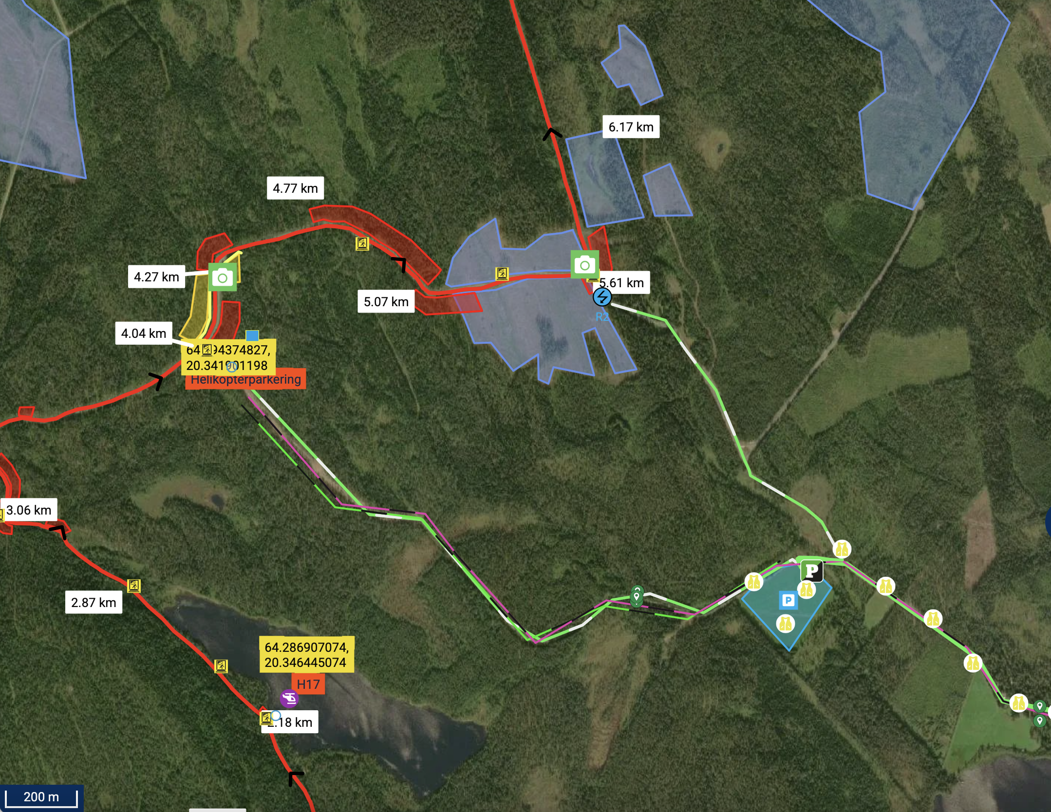
Media Point 5,45 km
Media Point 7,80 km
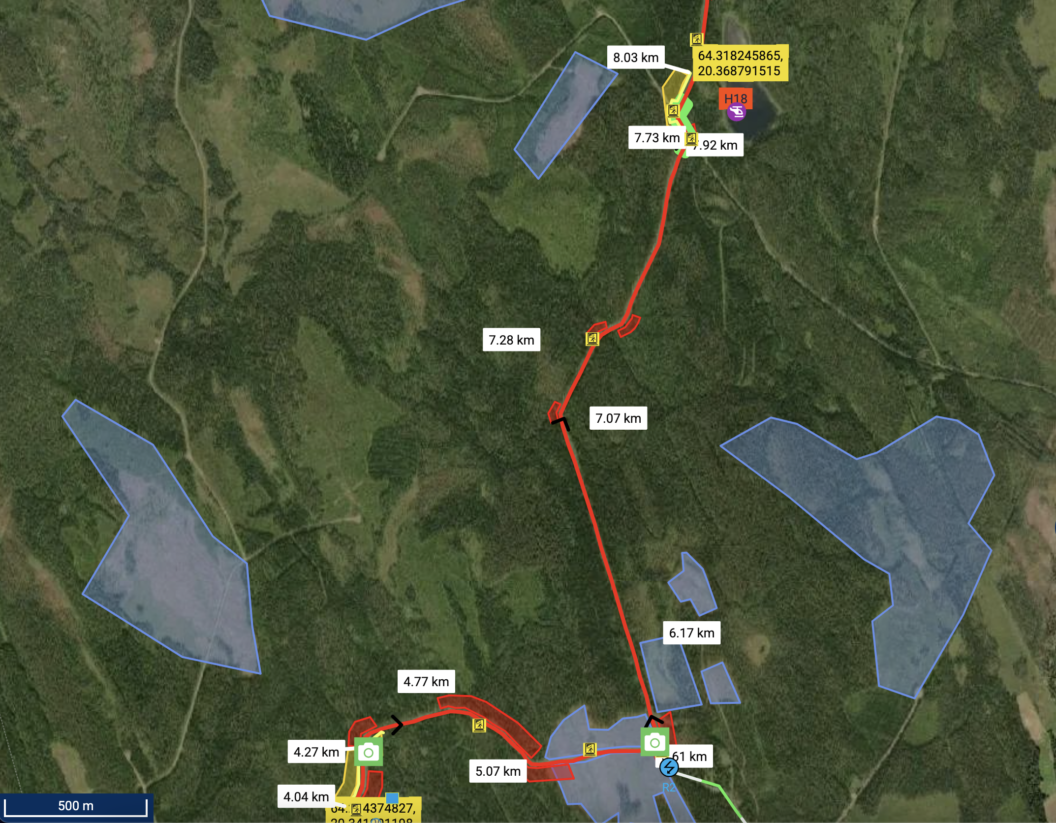
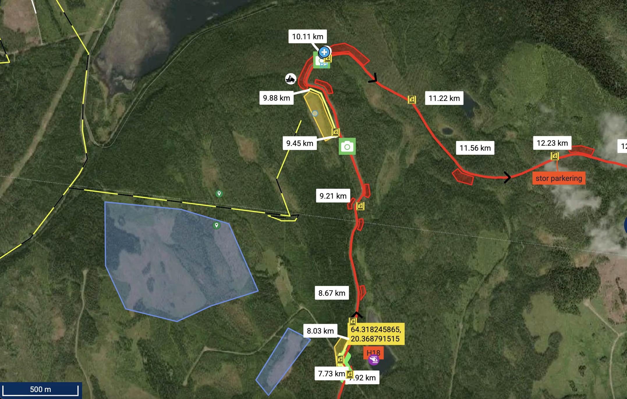
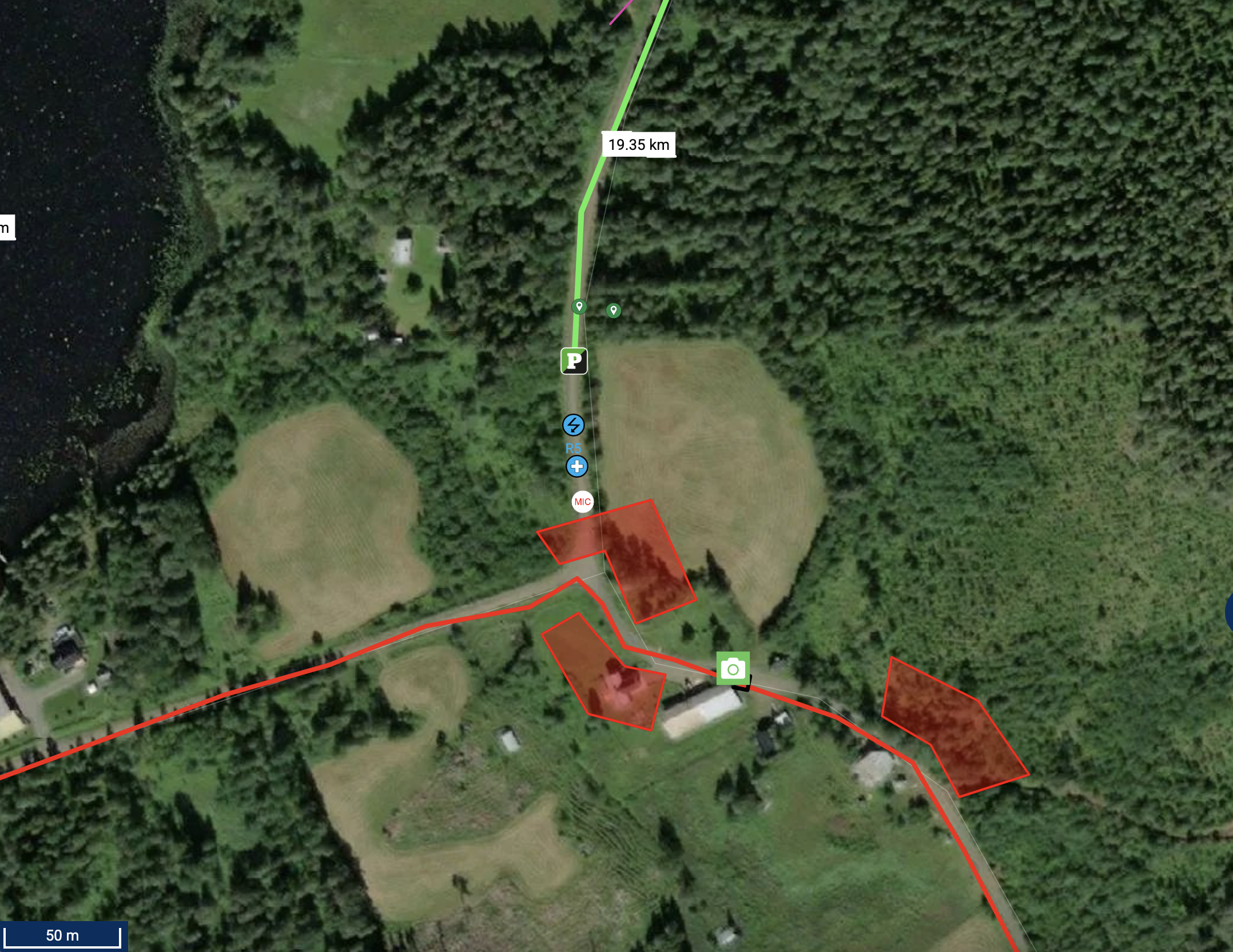
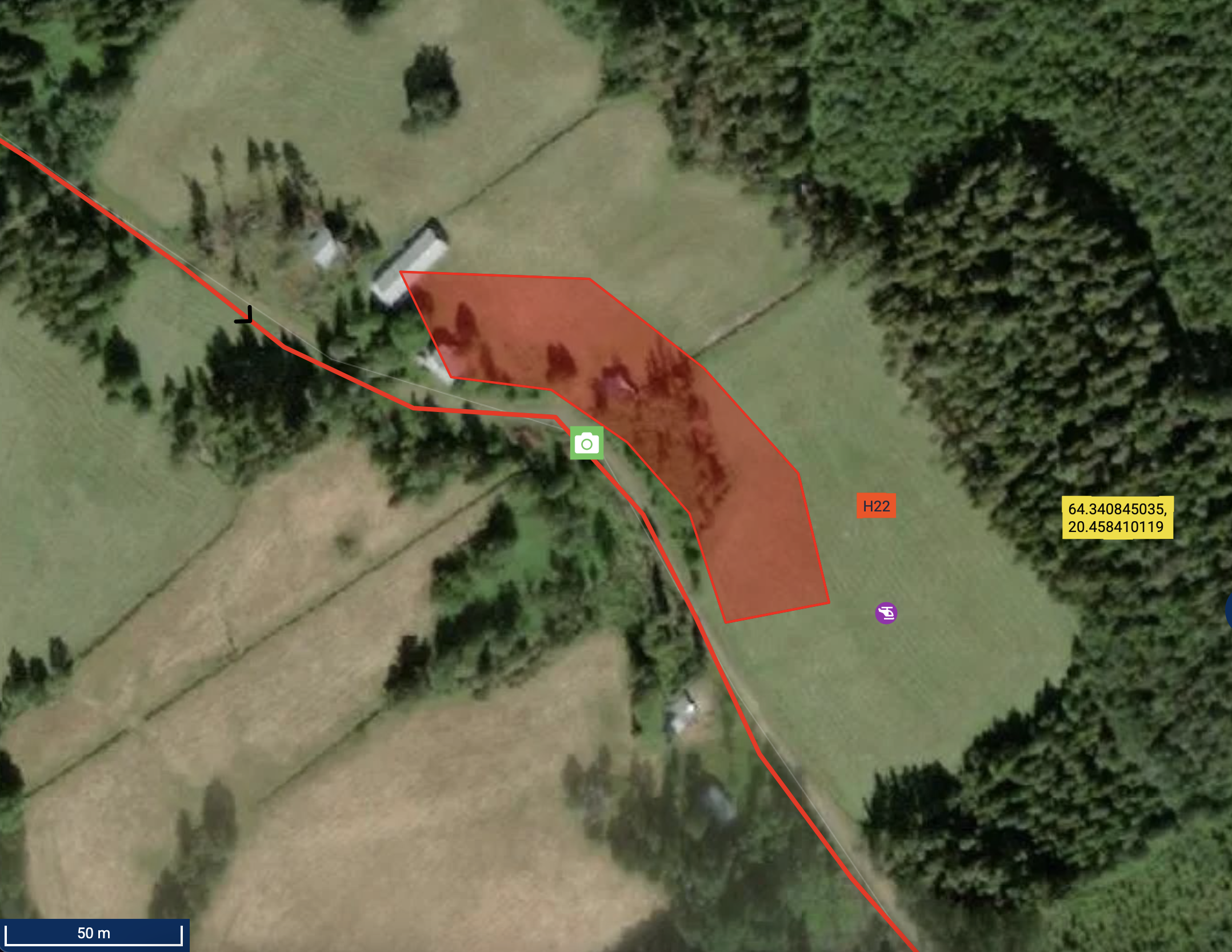
Media Point 9,34 & 10,09 km // SNOWMOBILE POINT
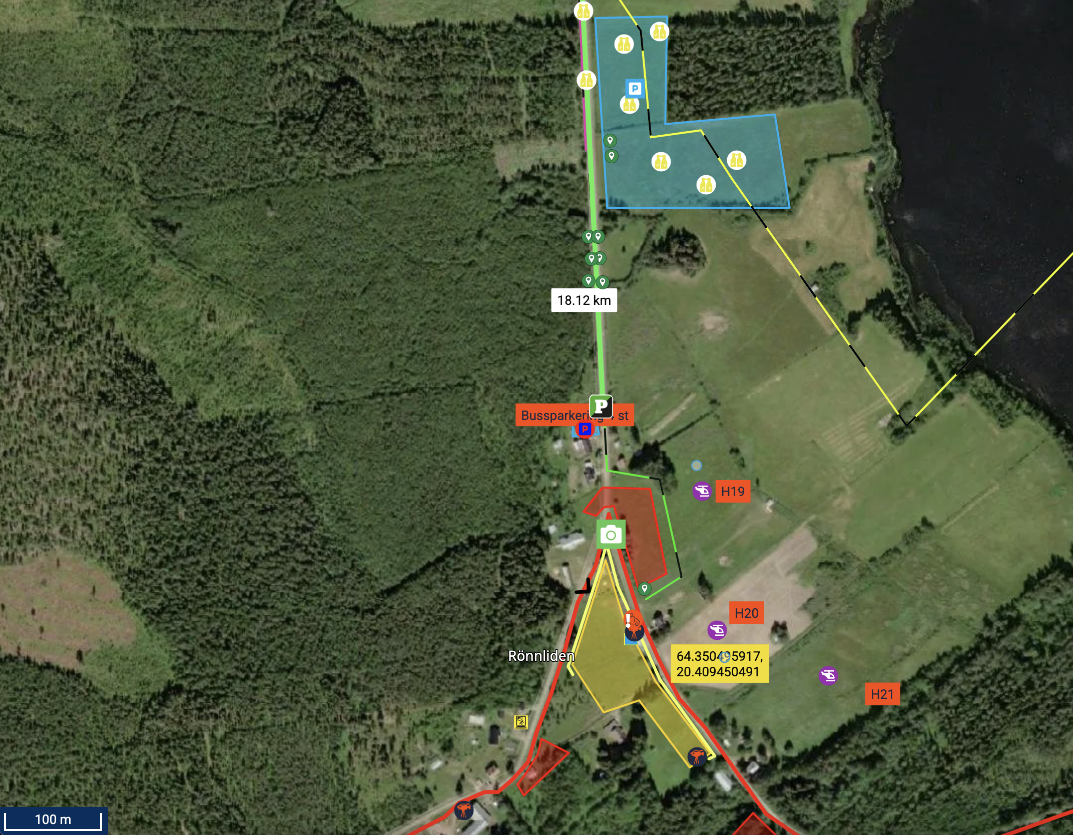
Media Point 17,69 km
Media Point 19,64 km
Media Point 20,76 km
Media Point 21,82 km
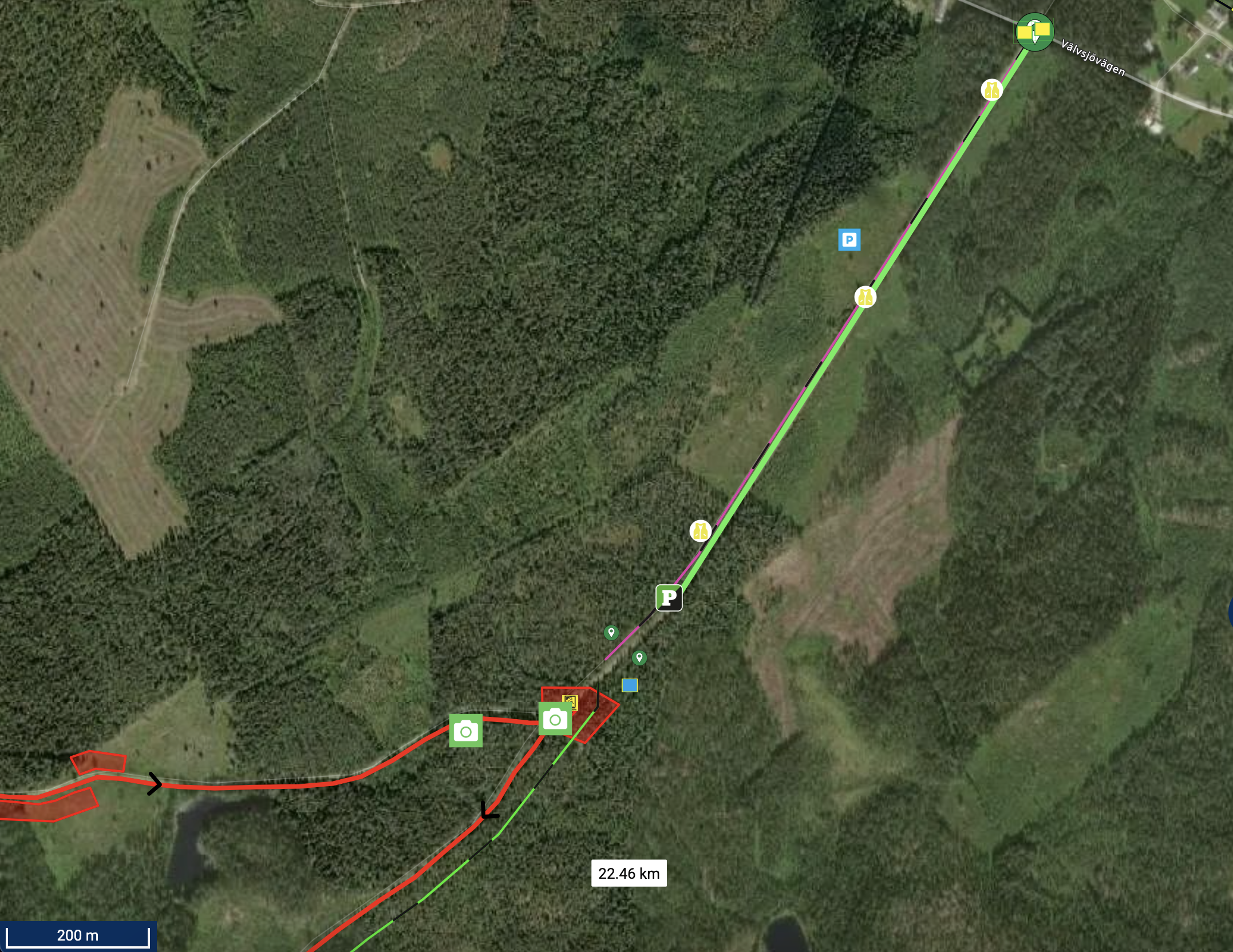
Media Point 21,95 km
Media Point 25,79 km
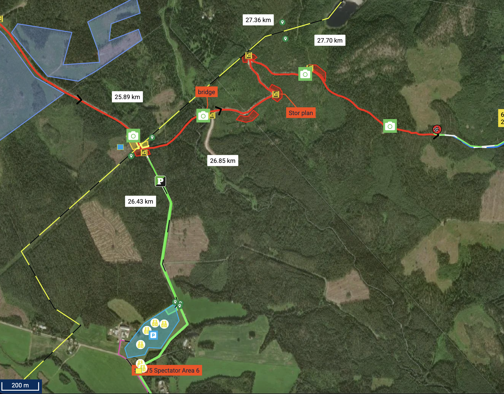
Media Point 26,27 km
Media Point 27,29 km
Media Point 27,87 km
Hosting city

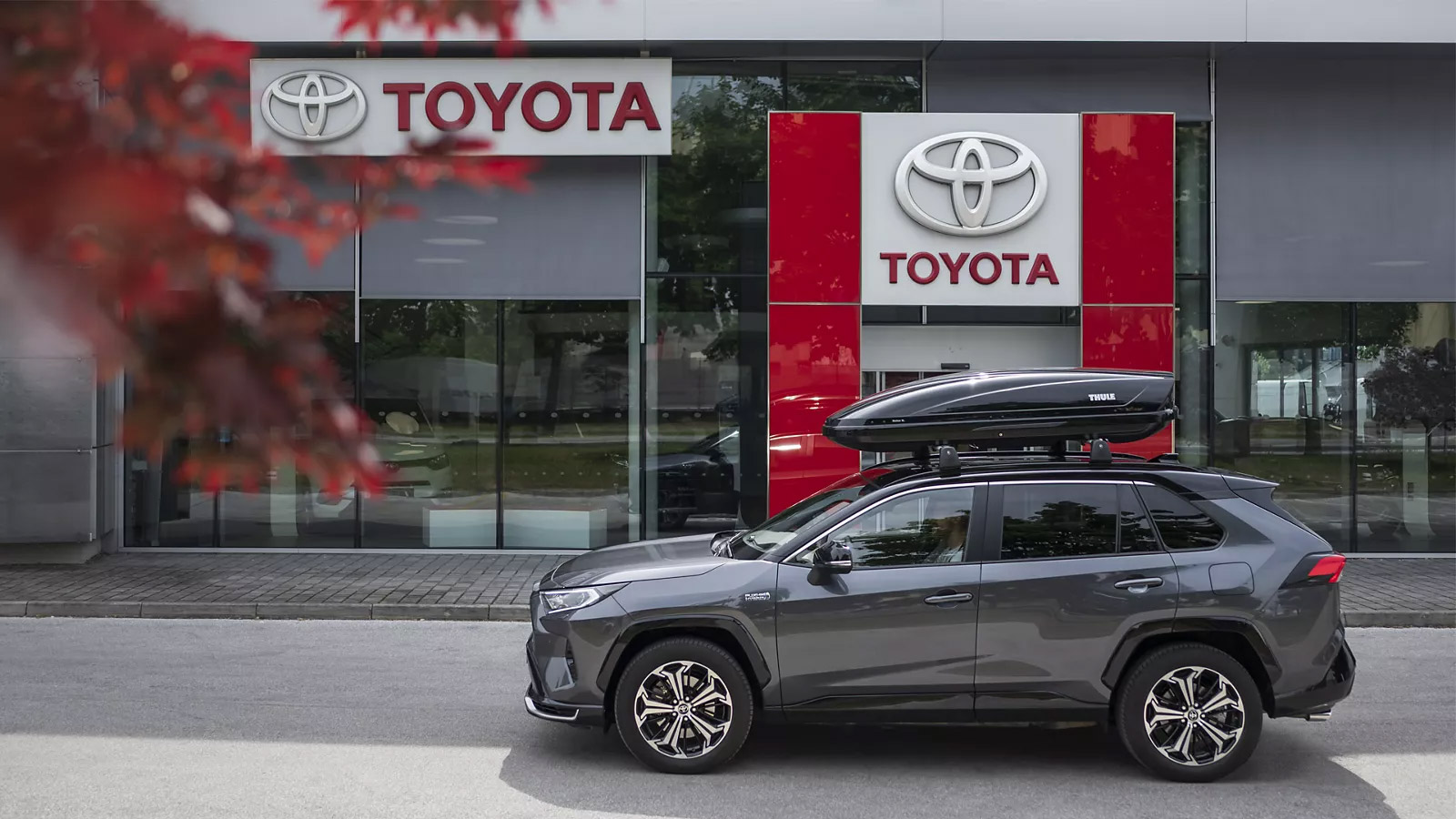
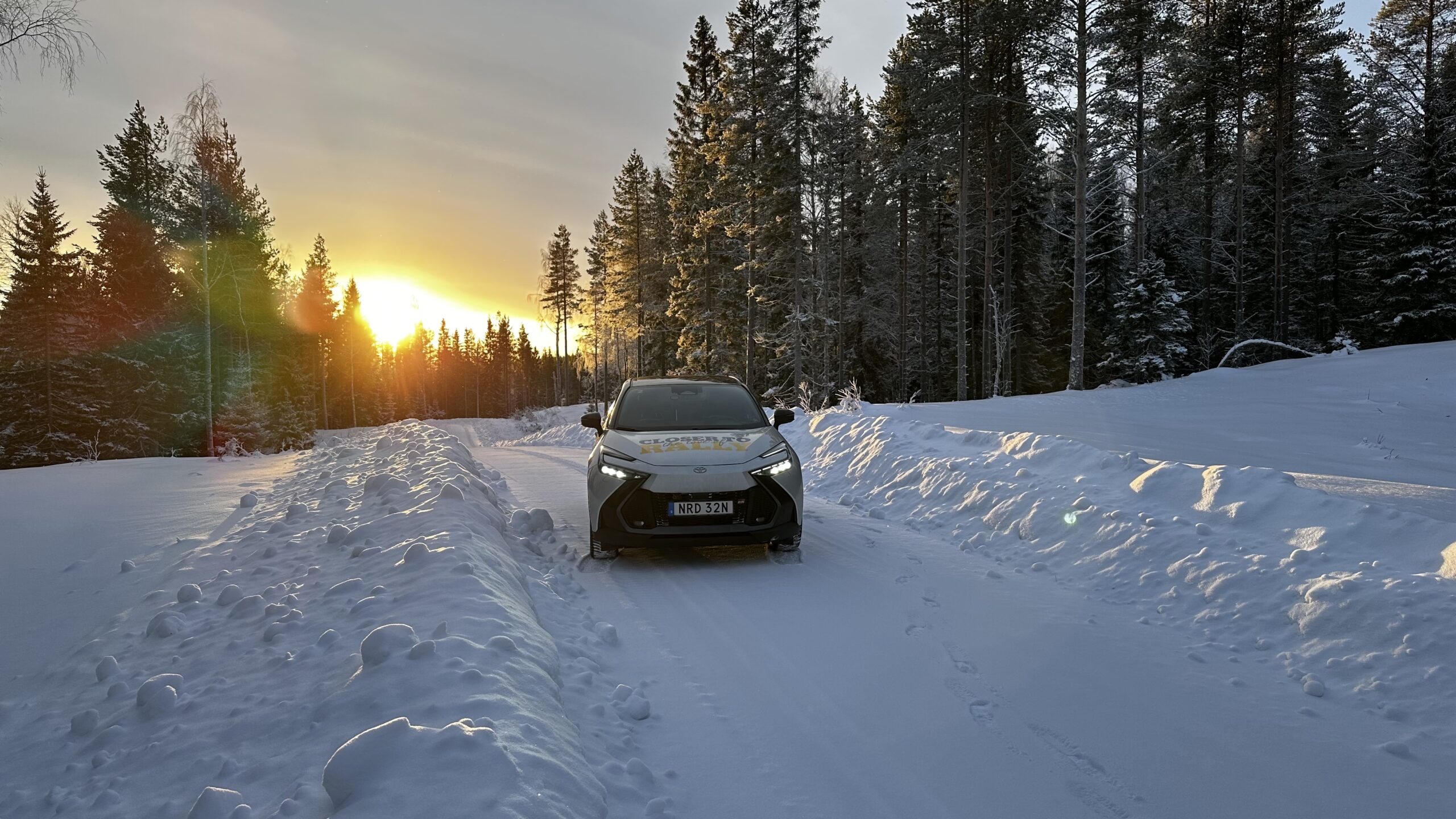
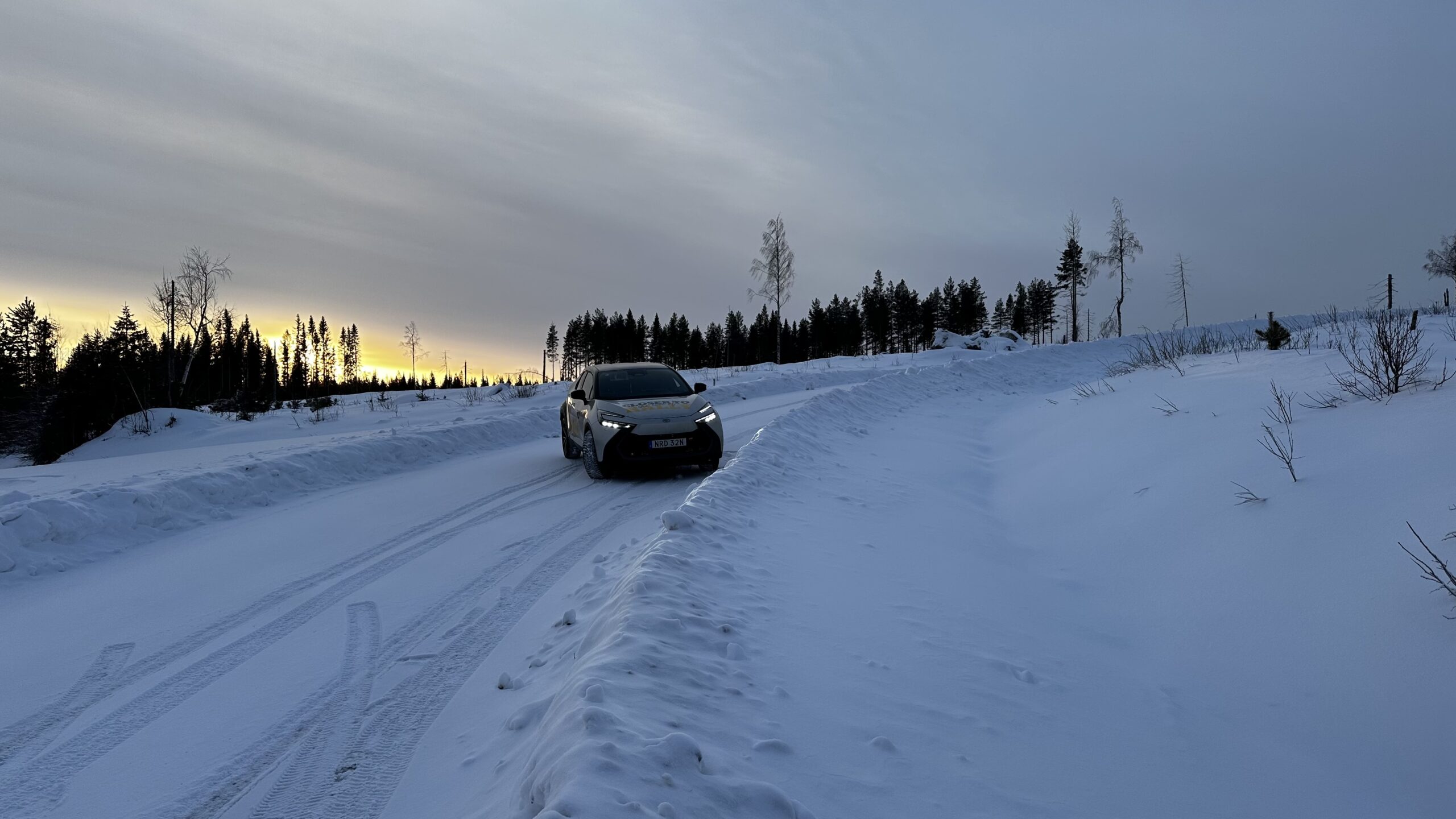
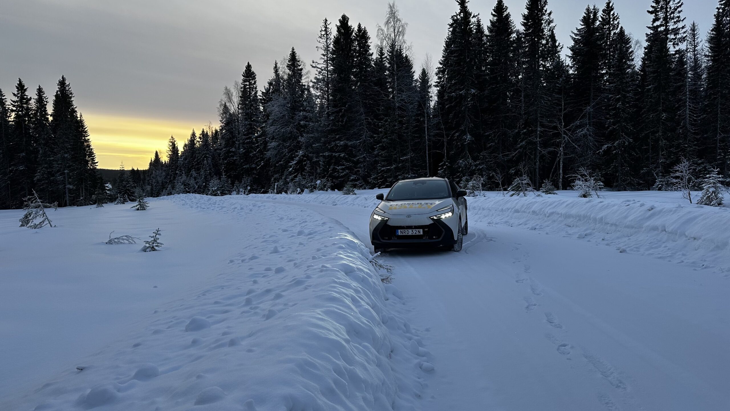
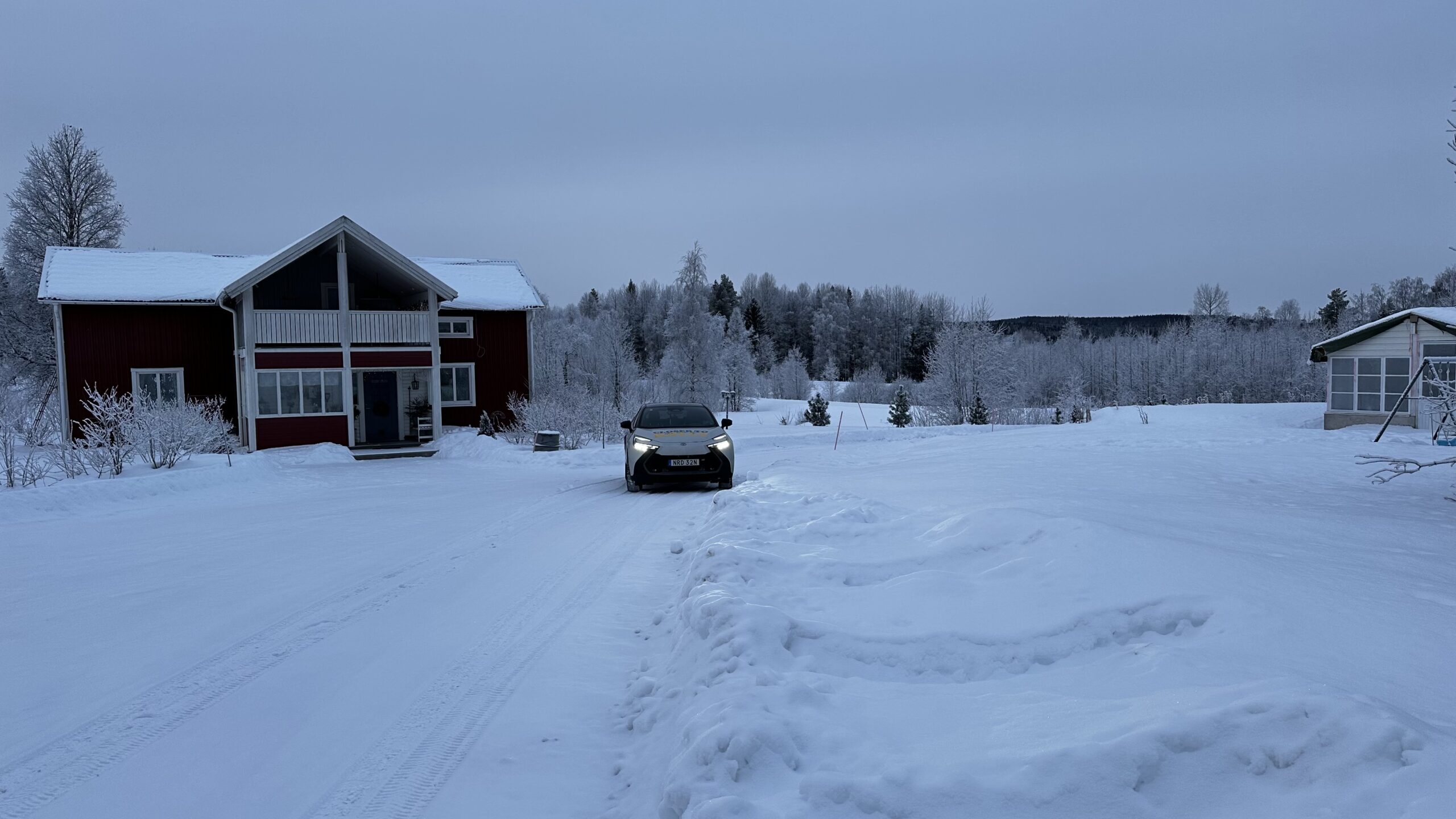
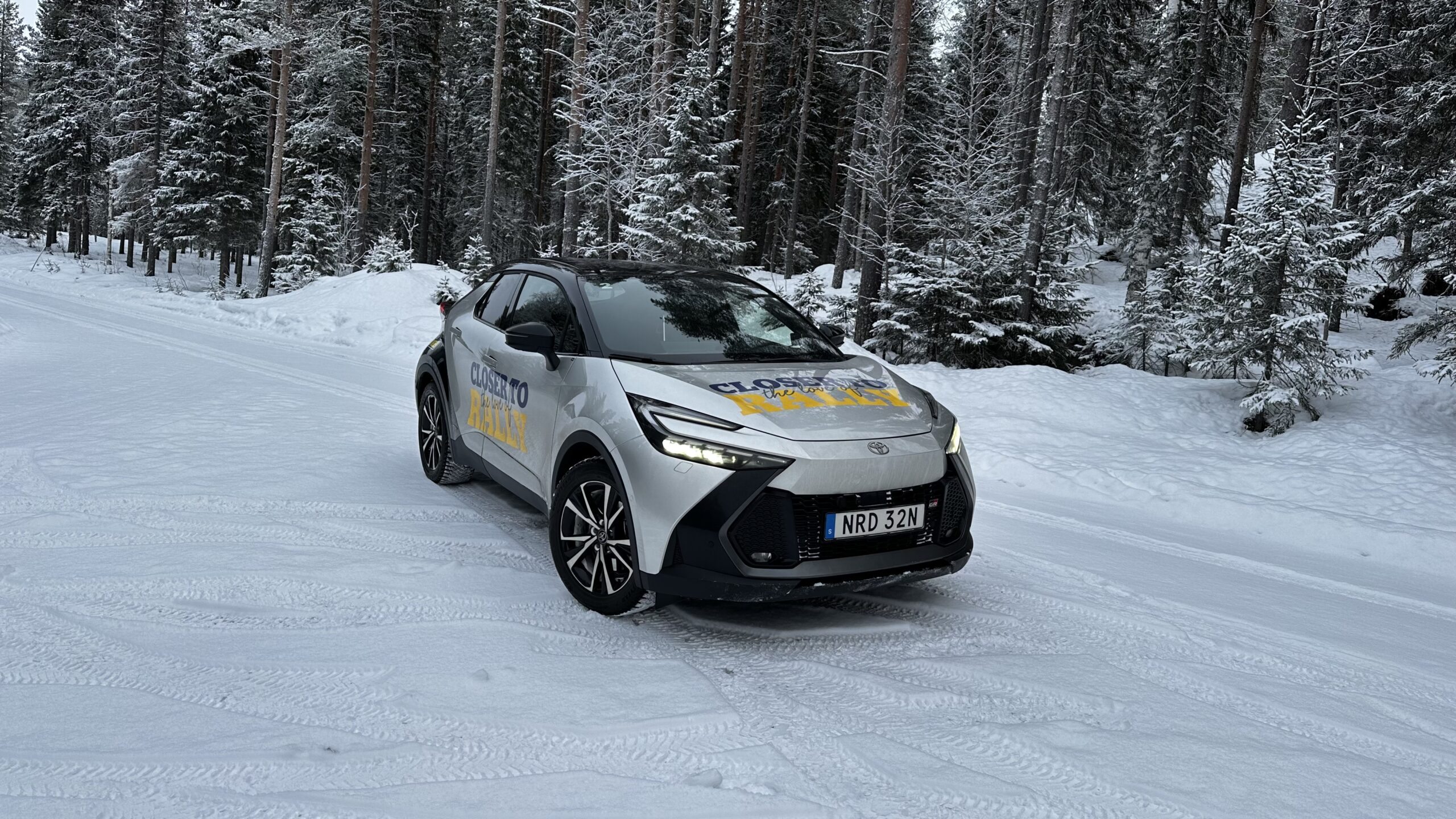
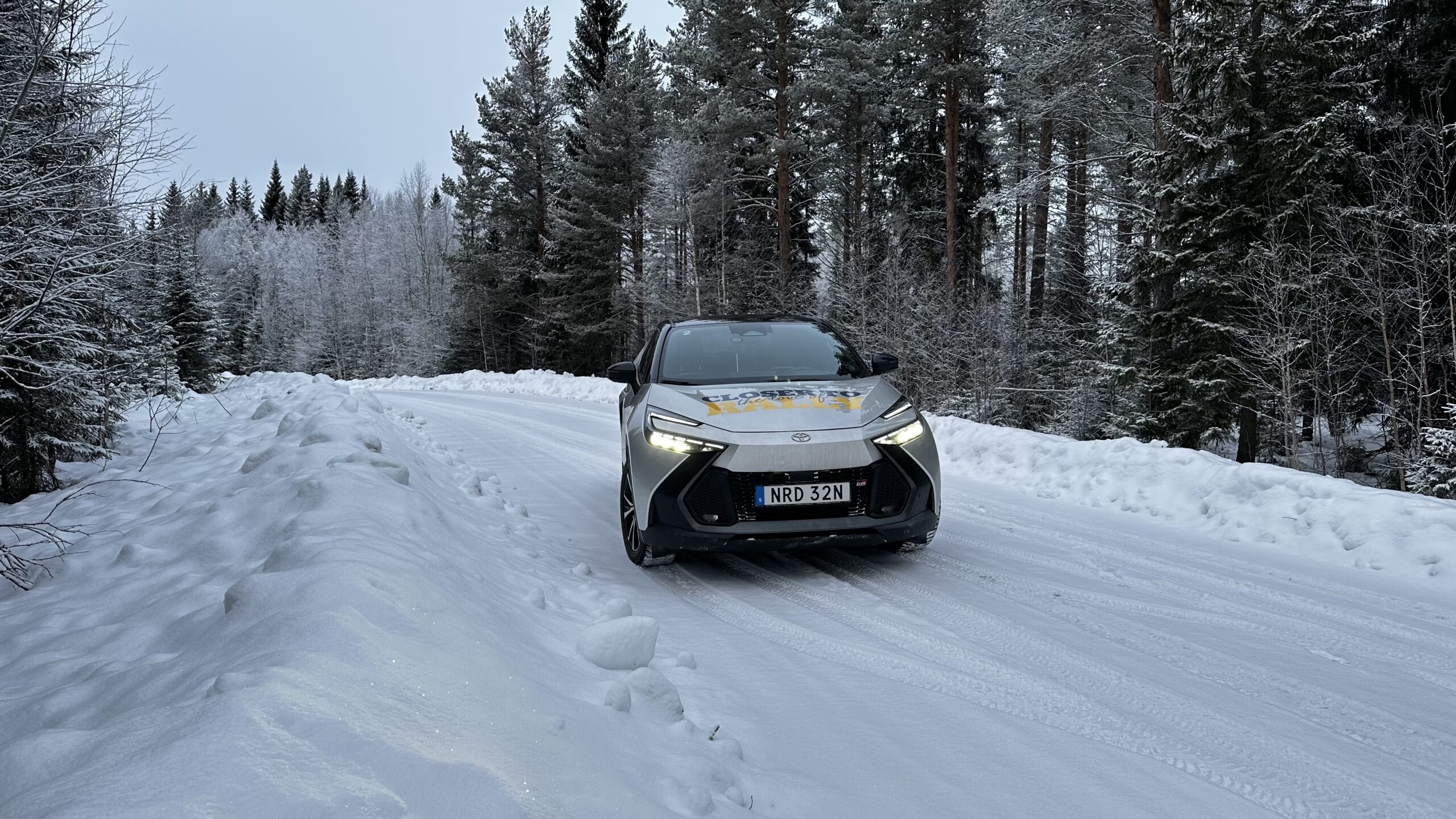
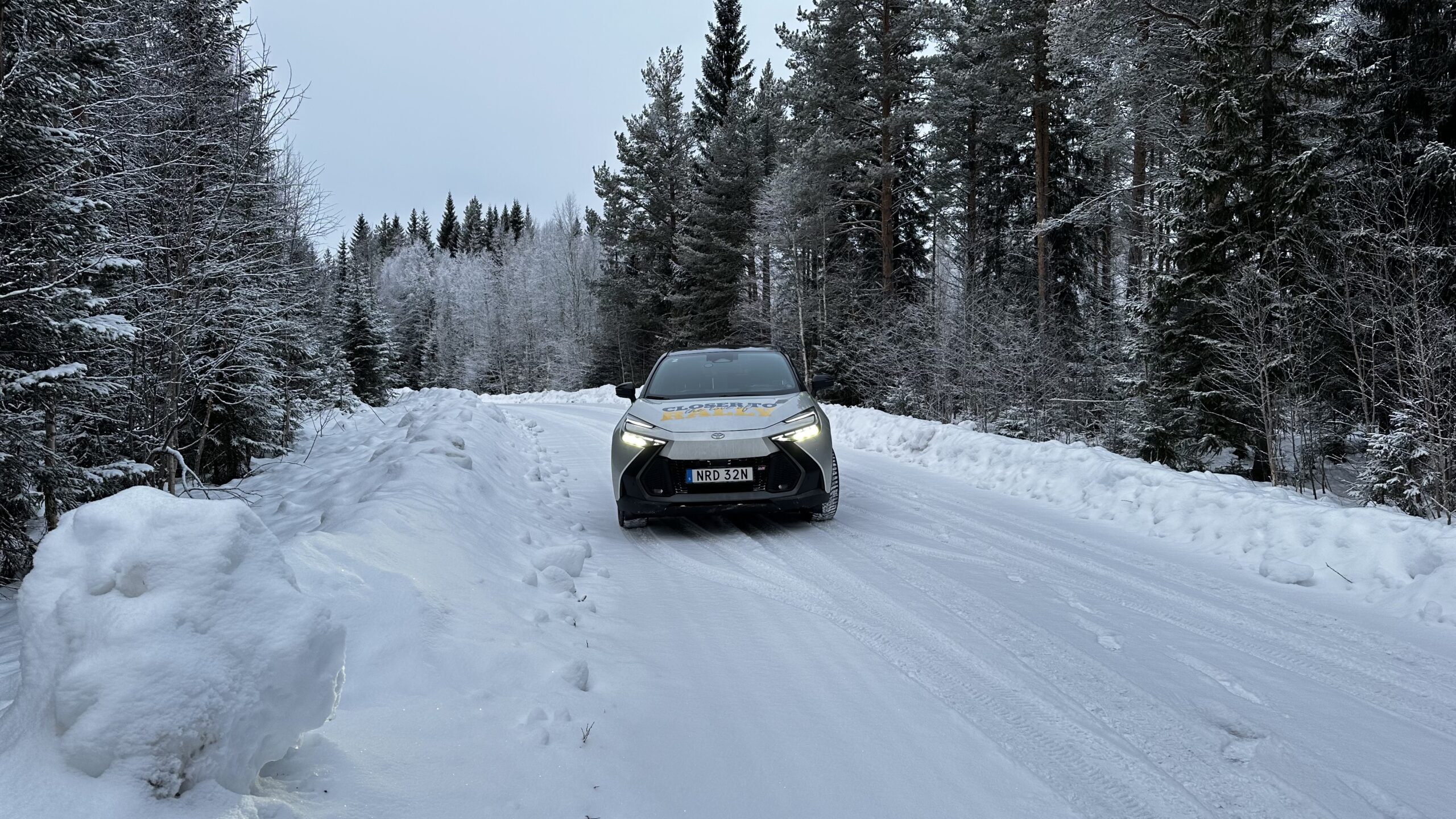
Official car

Major partners

Official partners


WRC partners